LIDAR Scan Visualisation
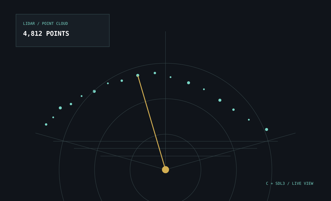
A low-level graphics project that reads LIDAR measurements, converts them into spatial points and renders a point cloud. I worked on parsing, coordinate processing, rendering and manual memory management.
What I built
A low-level graphics project that reads LIDAR measurements, converts them into spatial points and renders a point cloud. I worked on parsing, coordinate processing, rendering and manual memory management.
Project notes
The implementation covers parsing, coordinate processing, rendering and manual memory management.